The project follows the North Tyne from Kielder Water south through small rural communities whose histories are tied to farming, forestry, the river, Border country and the Roman frontier.
The project follows the North Tyne from Kielder Water south through small rural communities whose histories are tied to farming, forestry, the river, Border country and the Roman frontier.
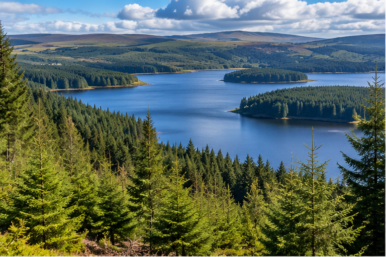
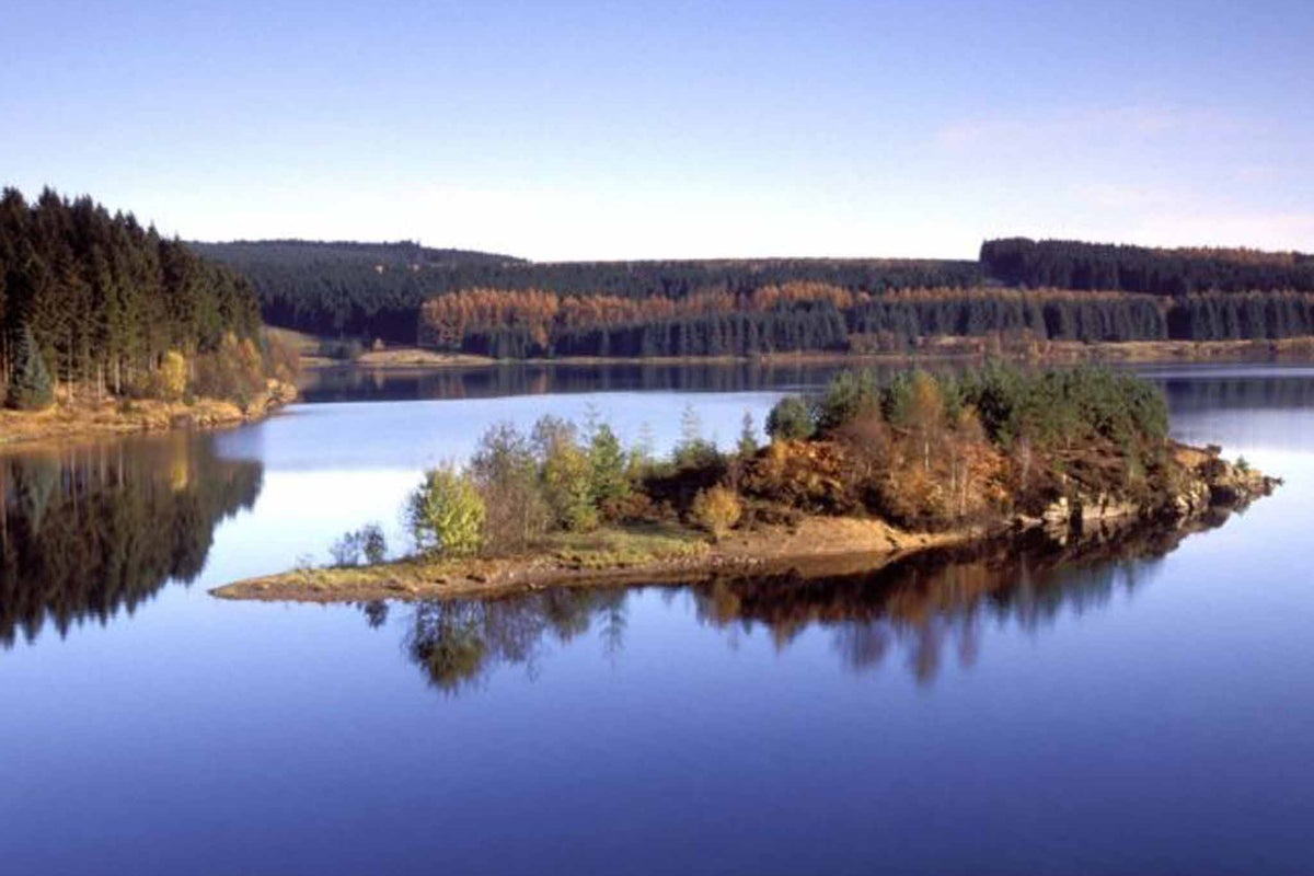
Kielder Water and the upper-valley landscape.
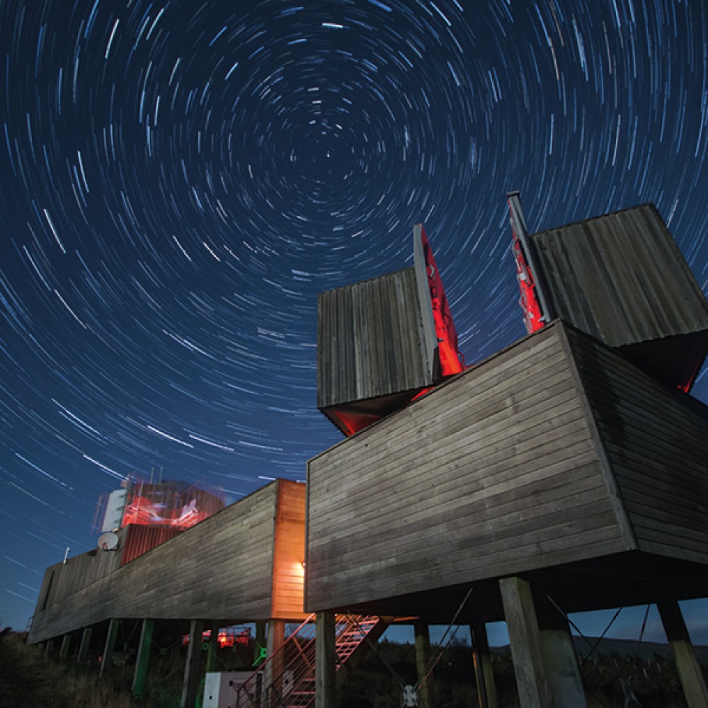
Kielder lies in historic Border Reiver country. Its landscape changed through twentieth-century forestry and the construction of Kielder Water, officially opened in 1982. The reservoir submerged former farms and homes; the forest and water park later developed into a centre for recreation, wildlife and dark-sky astronomy.
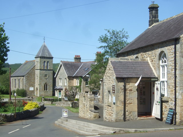
Falstone is an older North Tyne village now immediately downstream of Kielder Dam. Its history belongs to the farming communities and routes of the upper valley, before the reservoir transformed the landscape. Traditional stone buildings, the river and the surrounding forest connect the village’s earlier rural life with its present role as a gateway to Kielder.
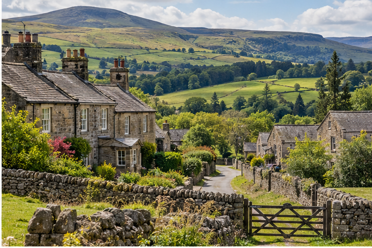
Falstone and the upper North Tyne.
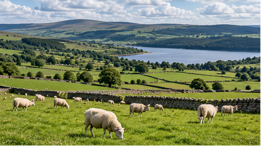
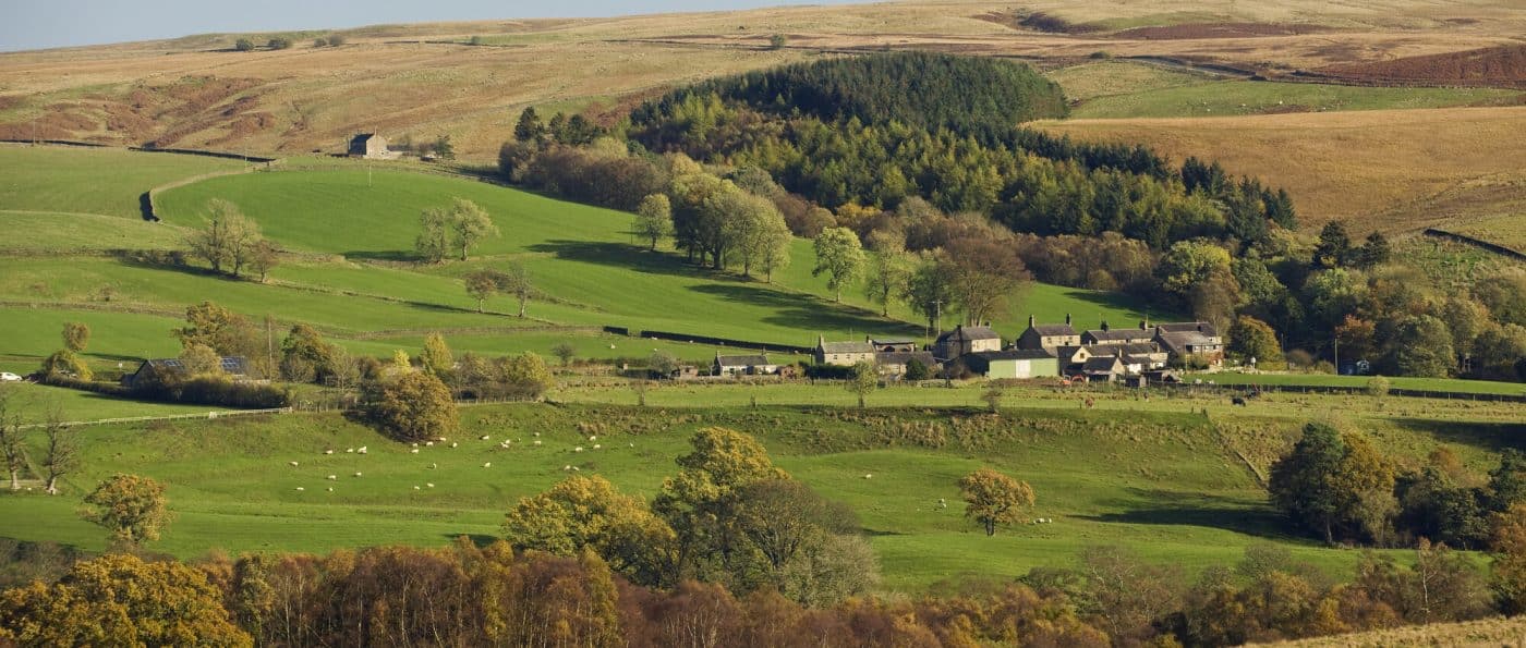
Tarset & Greenhaugh landscape and heritage.
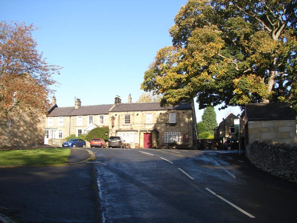
Tarset and Greenhaugh preserve the history of scattered Border farms. Fortified farmhouses known as bastles sheltered families and livestock during periods of raiding; Black Middens is a surviving example. Today the parish combines grazing land, woodland, small settlements and part of the Northumberland International Dark Sky Park.
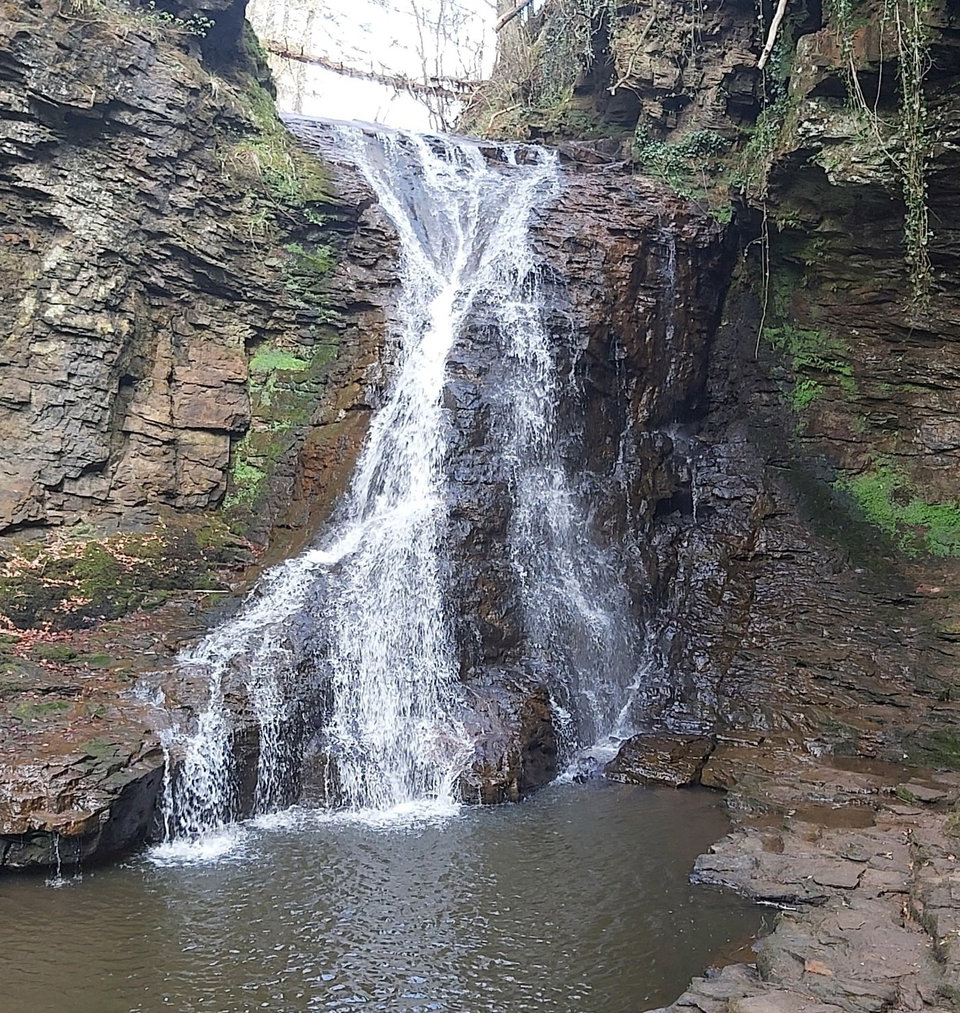
Bellingham grew as a market and service centre where Hareshaw Burn meets the North Tyne. Nineteenth-century ironworking and the Border Counties Railway added an industrial chapter to its farming history. The Heritage Centre in the former station area records local life, the railway and the wider Border country, while Hareshaw Linn remains a well-known landscape landmark.
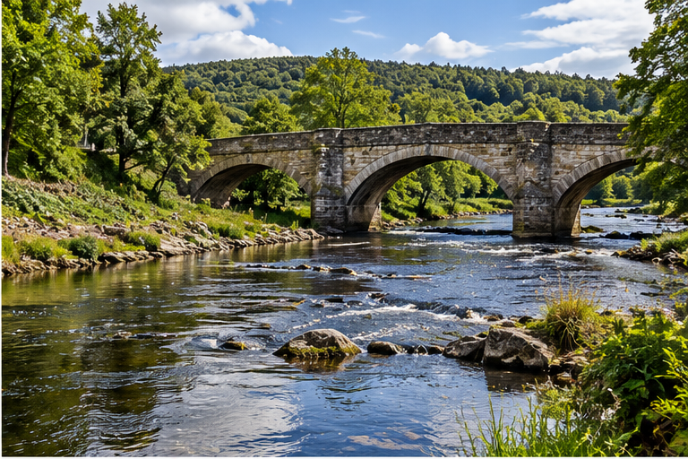
Bellingham and the North Tyne.
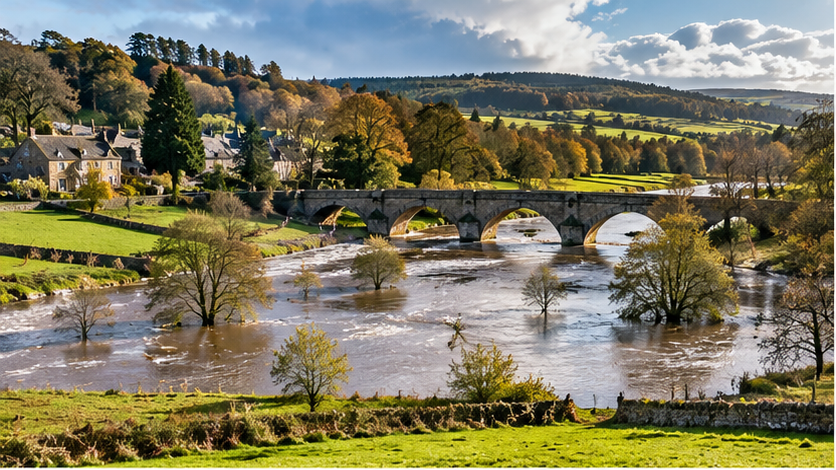
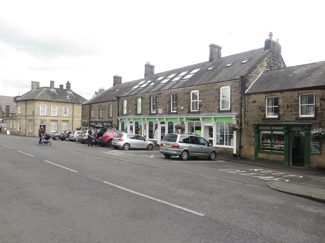
Wark and the river corridor.
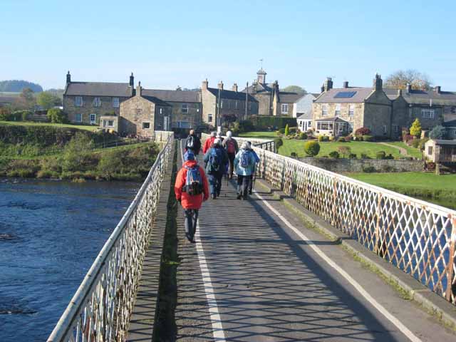
Wark stands beside the North Tyne and has a long history as a crossing and service settlement within the Border landscape. Farming, riverside trade and the railway shaped its development. Its bridge, stone-built village and surrounding pasture reflect this relationship with the river, while local heritage records preserve the story of its shops and craftspeople.
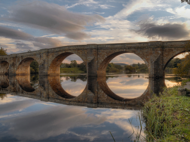
Humshaugh and Chollerford sit close to Hadrian’s Wall and Chesters Roman cavalry fort. The Roman frontier and river crossing give the area an older history than its later village buildings and roads. Chollerford’s bridge and Humshaugh’s rural settlement connect that heritage with the North Tyne’s route south towards Hexham.
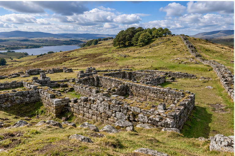
Humshaugh & Chollerford and the southern heritage landscape.
The river and Kielder Water tie the communities together physically, but the project treats water as a regulated ecological resource. Recirculation, flood-safe siting and environmental permitting are core design requirements.
A mixture of documentary web photography and clearly labelled concept imagery. Artist and third-party photographs remain credited to their source pages.